

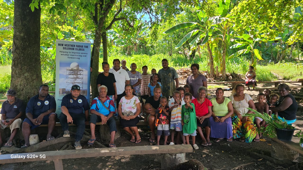
Solomon Islands' first weather radar is expected to begin operating by the end of 2026, giving forecasters new tools to track approaching storms and issue earlier warnings.
Construction is underway through the Weather Ready Pacific (WRP) Programme, with technical support from New Zealand MetService and national stakeholders.
Crews have completed the concrete foundation for the radar tower and are installing a solar power supply to help keep the facility operating during severe weather and disruptions to the wider electricity grid.
Solomon Islands Meteorological Service (SIMS) director Alick Haruhiru outlined how the radar would improve forecasting and community protection.
"This radar is a milestone for our country," Mr Haruhiru said.
"For the first time, our forecasters will be able to see severe weather as it develops and track it in real time - which means earlier warnings and better protection for our communities.
"It represents a real step change in what our service can deliver for the people of Solomon Islands."
Commissioning is planned before the end of the year, after which the radar will feed live imagery into SIMS forecasting and warning systems.
The technology will allow forecasters to track rain bands, thunderstorms and tropical cyclones in near real time, showing where rain is falling, its intensity and the direction it is moving.
For communities, this means earlier and more precise warnings, giving families, farmers, fishers and emergency managers more time to prepare.
The region's first WRP radar in Tonga has also demonstrated how imagery can be made available to the public, allowing people to see whether rain is approaching and how intense it may be.
That warning time is particularly significant in the Pacific, where communities face risks from climate-related disasters.
People in Small Island Developing States are around 15 times more likely to die from climate-related disasters than people elsewhere, based on figures from the UN Environment Programme.
Better forecasting and early warnings are intended to help close that gap.
The Solomon Islands project also supports the UN Secretary-General's Early Warnings for All initiative, which aims to ensure everyone is protected by early warning systems by 2027.
Across Solomon Islands, an archipelago of nearly a thousand islands, the radar is expected to strengthen warnings for tropical cyclones, flash flooding and coastal inundation.
It will support the national Multi-Hazard Early Warning System and help inform decisions in disaster management, aviation, shipping, agriculture and fisheries.
The facility forms part of a regional effort to address gaps in weather monitoring and build a connected Pacific radar network.
WRP Programme Manager Mr 'Ofa Fa'anunu linked the construction progress to the programme's focus on national capability.
"The progress in Solomon Islands is exactly what Weather Ready Pacific was designed to deliver: Pacific-led investment that builds lasting national capability," Mr Fa'anunu said.
"Following Tonga and Vanuatu radar (the latter built through the Van-KIRAP project), and alongside Samoa, Solomon Islands is helping us weave together a connected radar network across the region, guided by the WRP Pacific Radar Strategy."
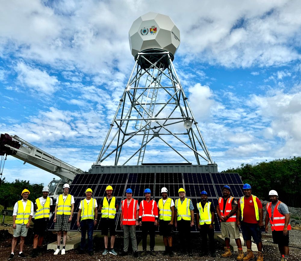
Tonga launched the first radar delivered under WRP in 2024, while Vanuatu's radar was delivered through the Van-KIRAP project and feeds into its national disaster preparedness system.
Samoa is in the contracting stage with its radar supplier, while construction in Solomon Islands is progressing towards commissioning before the end of 2026.
The projects fall under the WRP Pacific Radar Strategy, which sets out a coordinated approach to expanding radar coverage across the region.
The strategy was endorsed at the eighth Pacific Meteorological Council in Nuku'alofa, Tonga, in September 2026.
WRP receives financial support from the governments of Australia, Aotearoa - New Zealand and the United Kingdom and is implemented by SPREP.
The programme works with Pacific National Meteorological and Hydrological Services, regional organisations and technical partners to strengthen early warning systems and improve weather and climate services for Pacific Island communities.